English
 Español
 Deutsch
 日本語
日本語 Polska
 Français
 中國
中國 한국의
한국의 Українська
 Italiano
 Nederlands
 Türkçe
 Português
 Bahasa Indonesia
 Русский
 हिंदी
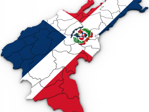
हिंदीUs political map with counties Model 3D


- Dostępne formaty: 3DS MAX all ver.: 3ds 18.23 MB3DS MAX ver.2010: max2010 14.67 MB
Render: StandardWavefront OBJ: obj 23.64 MB
- Wielokąty:470658
- Wierzchołki:241917
- Model animowany:No
- Tekstury:
- Oparty na szkielecie:No
- Materiał:
- Low-poly:No
- Kolekcja:No
- UVW mapping:No
- Plugins Used:No
- Gotowy do wydruku:
- 3D Scan:No
- Adult content:No
- PBR:No
- Geometria:Polygonal
- Unwrapped UVs:Unknown
- Liczba wyświetleń:3222
- Data: 2016-05-01
- ID produktu:119840
- Oceny:
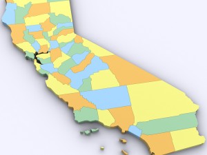
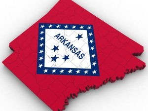
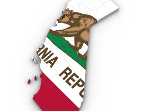
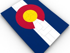
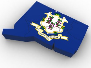
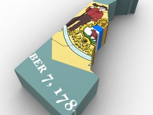
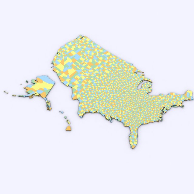
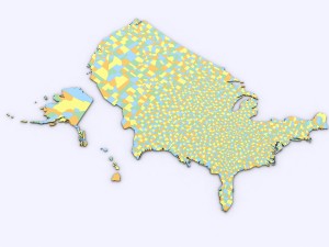
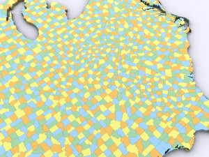
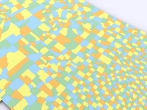
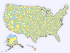
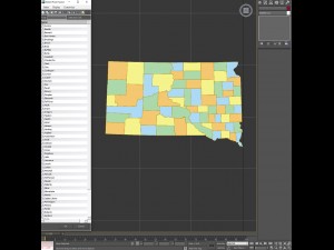
3d model of the political map of the united states. map includes every county in the entire united states.
all counties are grouped by the state they are in for easy navigation.
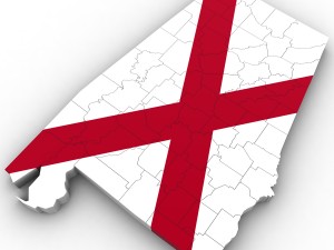
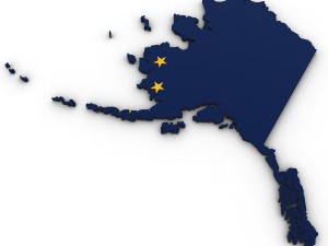
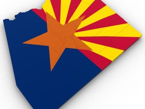
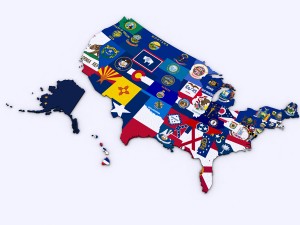
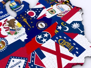
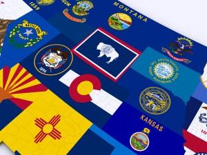
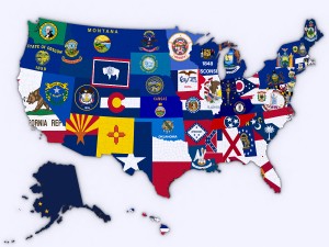
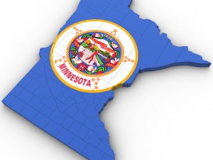
modifier stack is uncollapsed allowing for easy change of the extrusion of each county. product also includes a version that features a high resolution image of the flag of each state.
includes over 3,000 counties in the united states.
Czytaj więcejall counties are grouped by the state they are in for easy navigation.
modifier stack is uncollapsed allowing for easy change of the extrusion of each county. product also includes a version that features a high resolution image of the flag of each state.
includes over 3,000 counties in the united states.
Potrzebujesz plik w innym formacie?
Jeśli potrzebny Ci plik w innym formacie, zgłoś taką potrzebę przez opcję Support Ticket Konwertujemy produkty na następujące formaty: .stl, .c4d, .obj, .fbx, .ma/.mb, .3ds, .3dm, .dxf/.dwg, .max. .blend, .skp, .glb. Nie konwertujemy scen 3D oraz formaty takie jak .step, .iges, .stp, .sldprt.!
Jeśli potrzebny Ci plik w innym formacie, zgłoś taką potrzebę przez opcję Support Ticket Konwertujemy produkty na następujące formaty: .stl, .c4d, .obj, .fbx, .ma/.mb, .3ds, .3dm, .dxf/.dwg, .max. .blend, .skp, .glb. Nie konwertujemy scen 3D oraz formaty takie jak .step, .iges, .stp, .sldprt.!
Pobierz Us political map with counties Model 3D 3ds max2010 obj Od Plutonius
united states usa map county state america nation country political detailedBrak komentarzy dla tego produktu.