
 English
 Español
 Deutsch
 日本語
日本語 Polska
 Français
 中國
中國 한국의
한국의 Українська
 Italiano
 Nederlands
 Türkçe
 Português
 Bahasa Indonesia
 Русский
 हिंदी
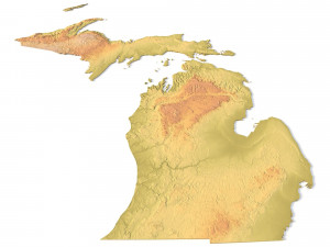
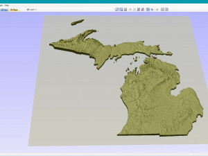
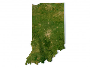
हिंदीMichigan Topographic Map STL Model Model do druku 3D


- Dostępne formaty: Stereolithography: stl 644.87 MB
- Kolekcja:No
- Width in millimeters:356
- Height in millimeters:0.8
- Depth in millimeters:408
- Gotowy do wydruku:
- 3D Scan:No
- Adult content:No
- PBR:No
- AI Szkolenie:No
- Liczba wyświetleń:2013
- Data: 2022-06-17
- ID produktu:402312
- Oceny:
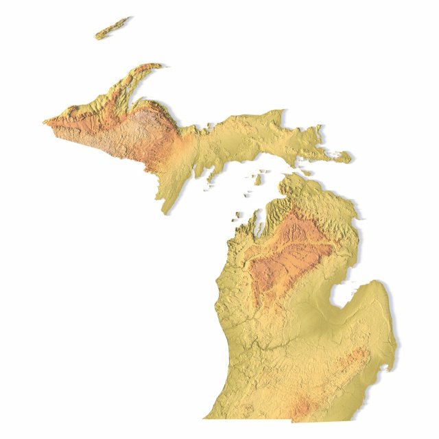
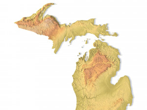
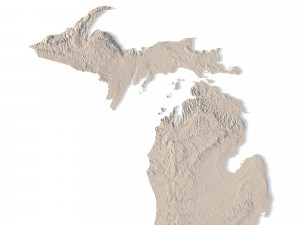
Create Detailed Michigan Terrain Models with This High-Resolution 3D STL
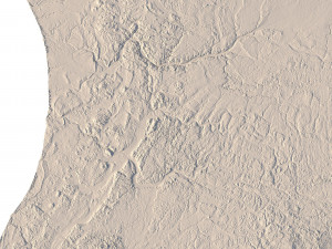
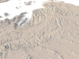
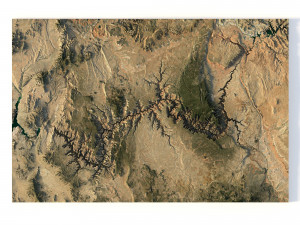
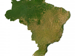
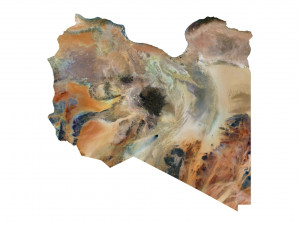
The Michigan Topographic Map STL model provides a high-resolution depiction of the state’s diverse topography and distinctive geographic features. This 3D model is ideal for creating physical relief maps from materials such as wood, metal, plastic, or concrete. Whether for landform visualization, educational projects, or professional GIS applications, this model delivers accurate elevation data for detailed terrain modeling. Perfect for use with 3D printers, CNC machines, and laser engravers.
- File size: 1.21 GB / 622 MB
- Model size: 356.1 mm x 407.76 mm x 0.842 mm
- Resolution: 0,06 mm
- Projection: Mercator
- Scaling factor: X — 1; Y — 1; Z — 3
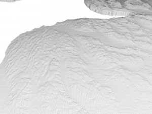
- Polygons: 26 204 218
- Vertices: 13 137 353
- Geometry: Polygonal Tris only
- Base: Open / Closed
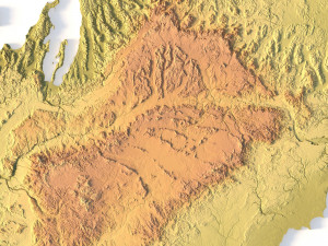
Features of the Michigan Topographic STL Model
Precise elevation data capturing Michigan’s varied landforms, from its Great Lakes shoreline to inland areas.
Compatible with FDM/SLA 3D printers for creating detailed terrain models.
Designed for CNC machining to craft relief maps from wood or metal.
Supports high-precision laser engraving for detailed metal surfaces.
Jeśli potrzebny Ci plik w innym formacie, zgłoś taką potrzebę przez opcję Support Ticket Konwertujemy produkty na następujące formaty: .stl, .c4d, .obj, .fbx, .ma/.mb, .3ds, .3dm, .dxf/.dwg, .max. .blend, .skp, .glb. Nie konwertujemy scen 3D oraz formaty takie jak .step, .iges, .stp, .sldprt.!


